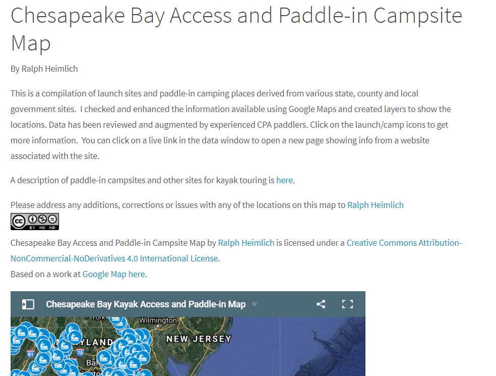
A number of new launches and paddle-in campsites have been added to the Interactive Chesapeake Bay Access Map in our Resources Section under Places to Paddle. There are now 876 launch sites, and 67 paddle-in campsites listed on the map, including geographic coordinates, street address, amenities, ownership. and body of water. In addition, two distance matrices have been developed giving point-to-point distances between paddle-in sites on the Patuxent River Water Trail, and on the Potomac River. These should be useful to those planning kayak touring trips on our two major rivers.
Share This![Share on Facebook Facebook](https://www.cpakayaker.com/wp-content/plugins/social-media-feather/synved-social/image/social/regular/48x48/facebook.png)
![Share on Twitter twitter](https://www.cpakayaker.com/wp-content/plugins/social-media-feather/synved-social/image/social/regular/48x48/twitter.png)
![Share on Reddit reddit](https://www.cpakayaker.com/wp-content/plugins/social-media-feather/synved-social/image/social/regular/48x48/reddit.png)
![Pin it with Pinterest pinterest](https://www.cpakayaker.com/wp-content/plugins/social-media-feather/synved-social/image/social/regular/48x48/pinterest.png)
![Share on Linkedin linkedin](https://www.cpakayaker.com/wp-content/plugins/social-media-feather/synved-social/image/social/regular/48x48/linkedin.png)
![Share by email mail](https://www.cpakayaker.com/wp-content/plugins/social-media-feather/synved-social/image/social/regular/48x48/mail.png)